Метро Москвы и МЦД – схемы станций, выходы 3.2.4
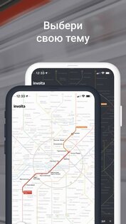
Приложение построит для вас маршрут в метро и сэкономит ваше время. Схема будет полезна как туристам, которые только в первый раз спускаются в метро и боятся заблудиться, так и местным жителям, чтобы оптимально рассчитать время на поездку в общественном транспорте.
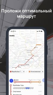
С помощью приложения вы сможете построить оптимальный маршрут в метро от одной станции до другой с расчетом времени в пути. Проложить оптимальный маршрут можно без подключения к интернету.
Карты метро удобно масштабируются.
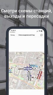
Пользуясь схемой станции, можно быстро ориентироваться в подземке, совершать пересадки между станциями, а так же выходить из метро в более удобном месте.
В приложении можно ознакомиться с основной информацией о станциях метро, узнать историю и интересные факты, связанные с ними.
Карта метро Москвы
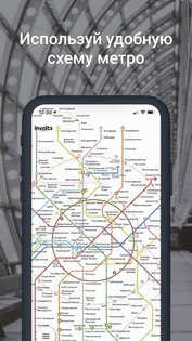
Карта метро Москвы — приложение с подробной схемой московского метрополитена в автономном режиме. Каждая ветка имеет свой цвет. Специальными знаками указаны станции обычных, кроссплатформенных и наземных пересадок. Под изображением расположена расшифровка: номера, пиктограммы, названия направлений.
Особенности
Приложение Карта метро Москвы для Андроид содержит детальную схему передвижения подземного транспорта города:
- Указаны подробные маршруты автобусов и аэроэкспрессов до аэропортов.
- Есть обозначение всех видов пересадок.
- Значками отмечены остановки, приспособленные для маломобильных пассажиров.
- Обозначены парковки, все виды вокзалов, станций и канатная дорога. Отмечены временно закрытые участки.
- Программа дает возможность бесплатно ознакомиться с маршрутами метрополитена.
Использование
Чтобы увеличить картинку в Карте метро Москвы на Андроид нужно тапнуть по экрану 2 раза. Повторное двойное нажатие на дисплей телефона уменьшит изображение. Можно воспользоваться лупой, находящейся под схемой.
На экране отображается информация:
- Обычные пересадки — круги, объеденные линиями.
- Наземный переход на другую ветку — пунктир между остановками.
- Кросплаформеннная смена маршрута — окружности с точкой внутри, соединенные между собой.
- Тонкие голубые линии с номерами обозначают движения автобусов.
- Перечеркнутый красный круг — временно неработающие станции.
- Строящиеся участки обозначены черным пунктиром.
- Красная тонкая линия со звездочкой в начале — движение аэроэкспресса.
Скачав программу, пользователь получит информацию о ветках метрополитена, движении автобусов, закрытых участках. Данные своевременно обновляются по мере открытия новых остановок.
Вы можете скачать Карта метро Москвы на Андроид бесплатно по прямой ссылке ниже.
Cхема метрополитена Москвы
Московский метрополитен один из самых крупных и оживленных метрополитенов в мире, был открыт в 1935 году и насчитывает более 250 станций, расположенных на 14 линиях с общей протяженностью около 555 километров на конец 2023 года. Карта метрополитена Москвы хорошо продумана и легко читается. Она предоставляет пассажирам ясное представление о линиях, станциях и пересадочных узлах, что делает навигацию в системе метро удобной и интуитивно понятной даже для новичков. Еще одним преимуществом Московского метрополитена является продуманность схемы и расположение станций. Система метро обеспечивает эффективную связь между различными районами города, а планирование маршрутов и пересадок сделано таким образом, чтобы минимизировать время и усилия пассажиров при перемещении. Благодаря этому, пассажиры могут с комфортом и быстротой добраться до своего пункта назначения. Московский метрополитен является неотъемлемой частью городской инфраструктуры и гордостью Москвы. Его удобство использования и продуманная схема делают его незаменимым средством транспорта для жителей и посетителей столицы, предлагая комфортабельное и надежное перемещение по всему городу.
Moscow Metro map 2030
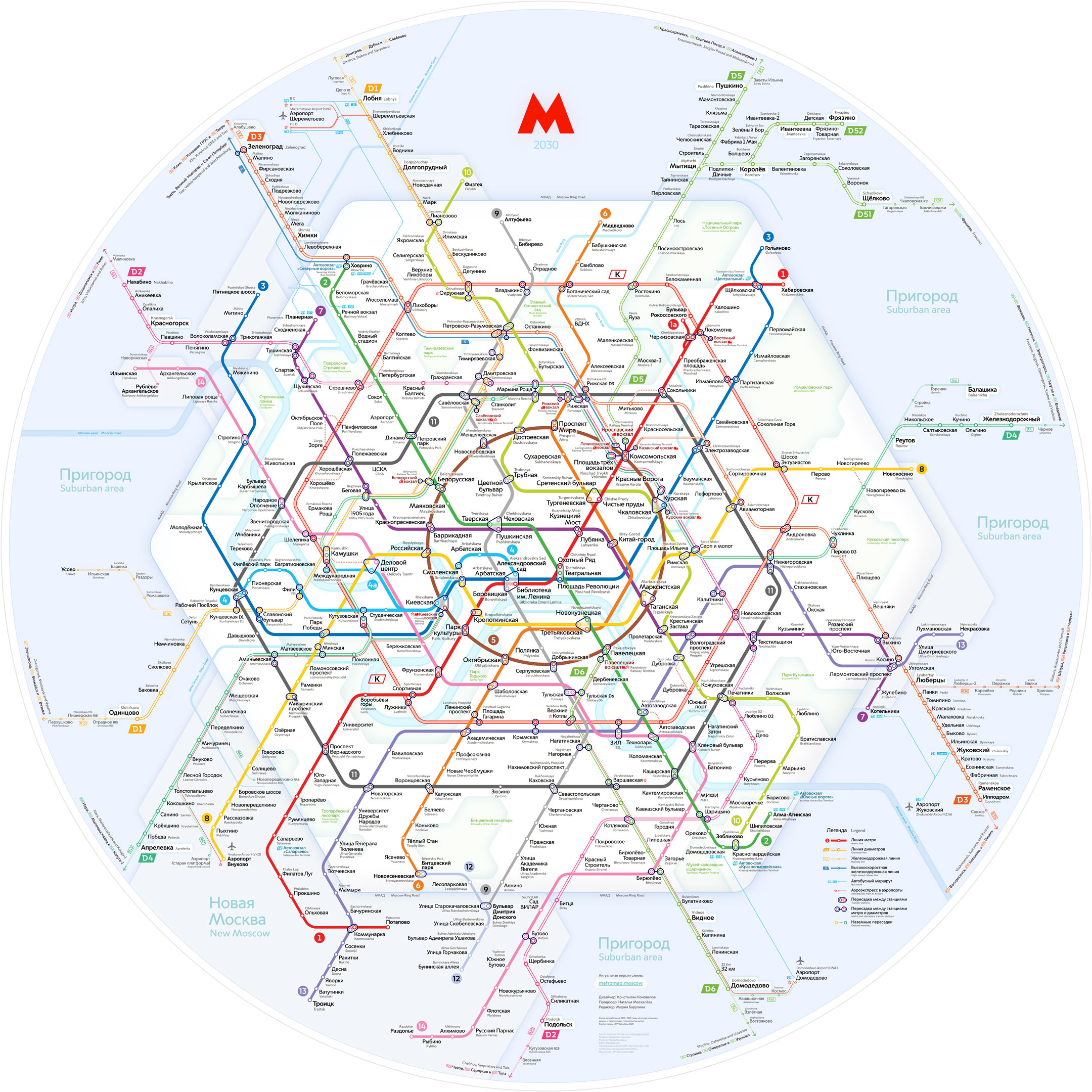
We designed a brand-new map of the Moscow Metro. It shows what the transport system will be like in ten years.
Three new diameters , and two new radial lines will be built, and the Big Circle line will become a complete circle.

New design of the map
The map has changed as the transit system has evolved.
The “circle and radials” principle was at the core of the map design for a long time. The Circle line rounded the city’s center where most of the transfer stations were located. Outside the Circle line, other lines were simplified to the point of being simple station lists.
Starting in the 2010s the construction of new metro stations outside the city center became extensive. Reconstructed railway lines became a part of the metro system. The increasing complexity of the network called for the search of new ways to make a map, since the current version no longer reflected the geography of the city.
The history of the metro map
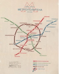
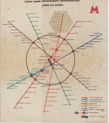
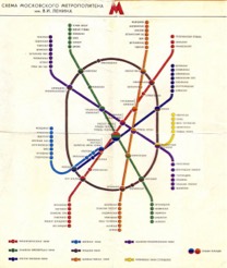
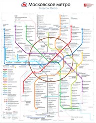
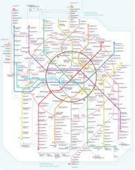
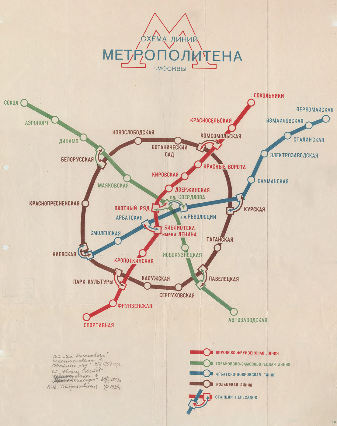
When there were not so many lines, the Metro map was drawn geographically and even showed the bends of the tunnels. Such an approach made it easy to highlight the connection between the new transport service and the city.
Source: n-metro.ru (Our Metro Collectors Society)
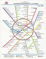
New terminal stations were added to the system and they were expanding further and further away from the center. The lines were not bended anymore. As a result, the map became less geographically accurate.
Source: n-metro.ru (Our Metro Collectors Society)
The metro was getting closer to the Moscow Ring Road, and long lists of stations began to form at the end of the lines. Lines were drawn vertically to make lists more compact.
Source: transphoto.org (City Electrotransport)
Designers made an attempt to make the map more geographically accurate, however, this map looked «broken» and was used for a short period of time.
Source: n-metro.ru (Our Metro Collectors Society)
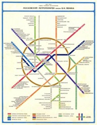
To organize the graphics all lines were drawn in a 45° grid. Doing so helped to create a more harmonious composition with parallel sections of lines.
Source: http://oldsamara.samgtu.ru (Samara in postcards and photographs)
Looking for a balance between empty and packed spaces of the map, the designers made a new layout of it. It now filled the whole space of the sheet.
Source: n-metro.ru (Our Metro Collectors Society)
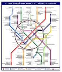
In 2013 Moscovites voted for a new metro map and chose the one made by the Art. Lebedev Studio. This was the biggest metro map update at the time. New design solutions used in this version were further developed in the transport design of Moscow.
Source: artlebedev.ru (Art Lebedev Studio)
With the opening of the MCC and the MCD, the map again lost its visual balance. As a result of showing the MCC ring and the Circle line as circles, empty and packed spaces started to reappear.
Source: mcd.mosmetro.ru (MCD official site)
Moscow geography
The metro map 2030 shows the Moscow transportation system geographically.
Lines go beyond the Moscow Ring Road (MKAD) up to the cities near Moscow. The Moscow Ring Road (MKAD) becomes an important element of the map as it is the border of the main part of Moscow. Its contour helps to find your way on the map and plan the time of a trip.
 Geography of the city
 New metro map
Lines which show the real geography look like a skein and are difficult to navigate through. We unwound all the complex intersections at the central part of the city and schematically showed the bending of lines outside of downtown. This approach helps one to understand a very complex transport system, allows for easier navigation, and makes it possible to juxtapose metro and city maps.

Rings are not round. Why?
Rings have become a symbol of Moscow. Everything in Moscow obeys the logic of rings: Boulevard and Garden rings, Moscow Ring Road, and the Circle metro line.
The MCC and the Big Circle line are now out of the traditional Moscow logic. These two new rings are not round, and their lines intersect each other. The main challenge of the new design is the rings.
A circular line is a closed line with transfers. Its shape doesn’t matter. For example, the circular line on the London Tube map is shaped like a bottle, and this shape is easy to memorize.
We looked for many solutions for new rings while creating this map.
When looking for a shape we wanted it to meet three requirements: visual equability (no empty or packed spaces), ease in finding your way and a recognizable shape of rings.
We made the historical Circle line round, but new circular lines and are hexagonal. This approach takes into account the further evolvement of the metro. Hexagons became the basis for a rare, yet graphically elegant, grid with 60° angles.
New 60° grid
The graphic grid is the invisible guides that form the composition.
In 1980s a 45° grid was used to design the official Moscow Metro map. This is the most popular technique in schematic map design in the world. In 1931 Harry Beck designed the first 45° grid for the London tube. Since then it has become the standard for transport map design.
For the new metro map, we have tried a completely new approach to the grid. Instead of the four 45° axes forming the schematic drawing, we only use three 60° axes. This grid allowed us to create elegant and eye-pleasing bends of lines.
 Classic 45° grid